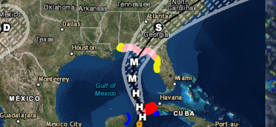
An outbreak of tornadoes, some potentially long-track and violent, is expected today into this evening over portions of northwest Texas into western and central Oklahoma. More isolated but still potentially dangerous severe weather, including tornadoes and destructive winds and hail, is possible in surrounding parts of Texas, Oklahoma, Kansas, and Arkansas. A tornado outbreak is forecast to unfold this afternoon and evening across parts of northwest TX and western/central OK.
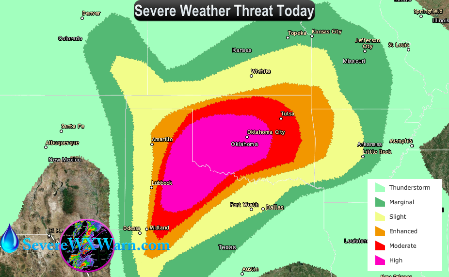
Moisture continues to stream northward across the region, with dewpoints in the 70s yielding very high afternoon MLCAPE values of 3000-5000 J/kg. Meanwhile, shear profiles are also rapidly increasing as a 50-60 knot southerly low-level jet strenghens across the area. This is leading to a rare combination of extreme instability and large hodographs as depicted on forecast soundings throughout the region. Given the weak capping inversion, strong low-level theta-e advection, and approaching large-scale forcing, all signs point to the development of numerous intense supercells this afternoon across the MDT and HIGH risk areas.
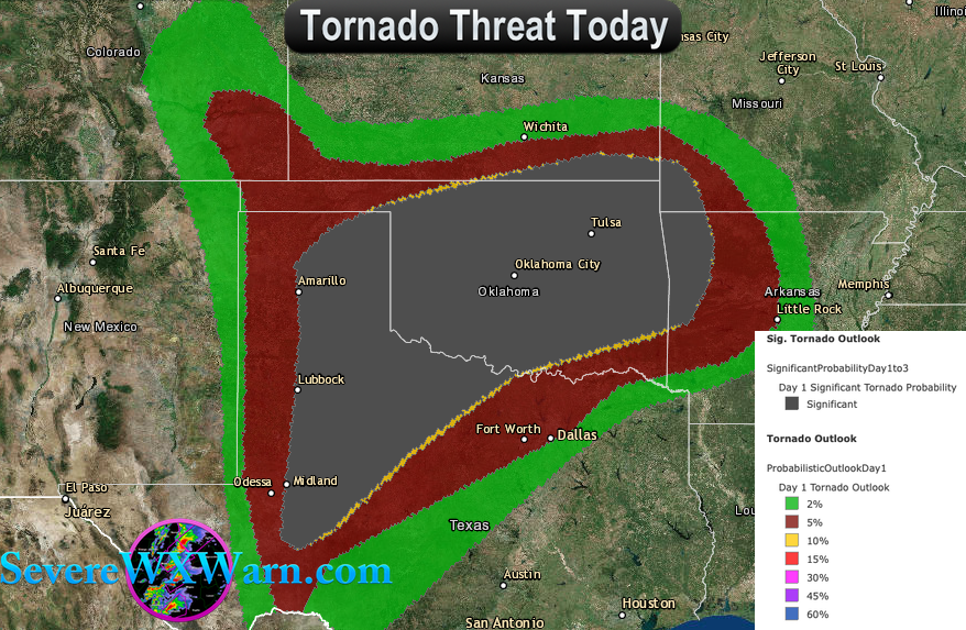
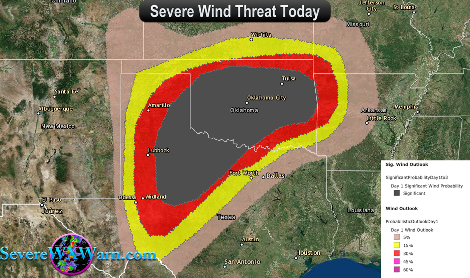
Any storm that persists in this environment will pose a risk of strong tornadoes, very large hail, and damaging winds. The corridor of greatest concern, including a threat of long-track and potentially violent tornadoes, will extend from the southeast TX Panhandle into western and central Oklahoma. Multiple rounds of severe storms are expected to affect these areas, with new storms forming this evening over west TX and spreading across north TX and much of OK overnight.
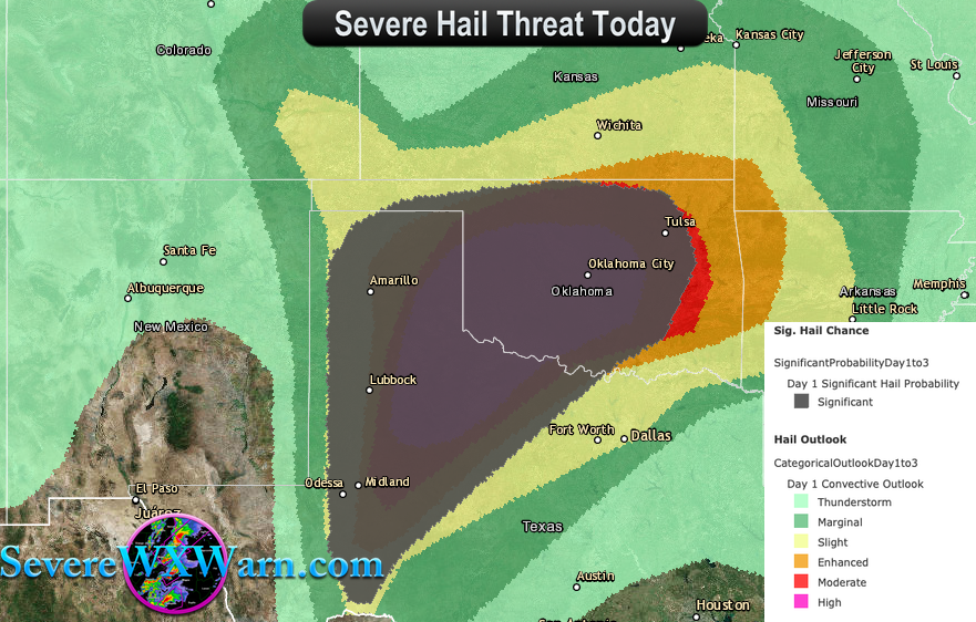
These storms will maintain a risk of large hail, damaging winds, and isolated tornadoes through the night in some areas. Courtesy: Storm Prediction Center (National Weather Service)

