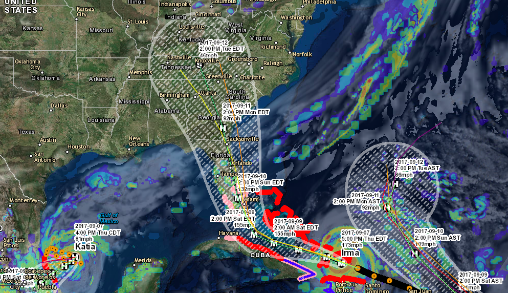
Hermine is now a hurricane and is expected to make landfall tonight just after midnight along the Gulf coast of Florida. Hurricane warnings have been issued and areas from Florida into the Carolina’s will likely see the impacts of Hurricane Hermine throughout the weekend. Below is an overlook of what can be expected from Hermine throughout the weekend. Florida will have to deal with Hermine tonight into tomorrow morning with Georgia and South Carolina dealing with the storm Friday and North Carolina finally on Saturday before the storm exits into the Atlantic ocean.
WIND: Hurricane conditions are expected to reach the coast within the warning area beginning tonight. Winds are expected to first reach tropical storm strength by this afternoon, making
outside preparations difficult or dangerous. Preparations to protect life and property should be rushed to completion. Tropical storm conditions are expected to begin within the warning area along
the Atlantic coast on Friday, and spread northward through Friday evening. Tropical storm conditions are possible in the tropical storm watch area by Friday night and Saturday. -NHC
![[Image of probabilities of 34-kt winds]](http://www.nhc.noaa.gov/storm_graphics/AT09/refresh/AL0916_PROB34_F120+gif/153730.gif)
STORM SURGE: The combination of a dangerous storm surge and the tide will cause normally dry areas near the coast to be flooded by rising waters moving inland from the shoreline. There is a danger of life-threatening inundation within the next 12 to 24 hours along the Gulf coast of Florida from Indian Pass to Longboat Key. For a depiction of areas at risk, please see the Prototype National Weather Service Storm Surge Watch/Warning Graphic. Persons located within these areas should take all necessary actions to protect life and property from rising water. Promptly follow any instructions, including evacuation orders, from local officials. -NHC
The water could reach the following heights above ground if the
peak surge occurs at the time of high tide…
Destin to Indian Pass…1 to 3 feet (Per NHC)
Indian Pass to Ochlockonee River…4 to 7 feet
Ochlockonee River to Keaton Beach…5 to 8 feet
Keaton Beach to Chassahowitzka…4 to 7 feet
Chassahowitzka to Longboat Key…including Tampa Bay…2 to 4 feet
Longboat Key to Bonita Beach…1 to 3 feet
Florida-Georgia line to Cape Fear…1 to 3 feet
RAINFALL: Hermine is expected to produce storm total rainfall accumulations of 5 to 10 inches over portions of northwest Florida and southern Georgia through Friday, with possible isolated maximum amounts of 20 inches. On Friday and Saturday, Hermine is expected to produce totals of 4 to 8 inches with isolated maximum amounts of 10 inches possible across portions of eastern Georgia, South Carolina, and eastern North Carolina through Saturday. These rains may cause life-threatening flash flooding. -NHC
![[Image of WPC QPF U.S. rainfall potential]](http://www.nhc.noaa.gov/storm_graphics/AT09/refresh/AL0916WPCQPF+gif/153730WPCQPF_sm.gif)
TORNADOES: A few tornadoes are possible this afternoon into Friday morning over north Florida and southeast Georgia. The tornado risk will continue across the eastern Carolinas from Friday morning into Friday night. -NHC
If you would like to stay up to date on these systems and future systems be sure to like us on Facebook and download the Atlantic Hurricane Tracker on Android and Apple devices.
Facebook: www.facebook.com/severewxwarn
Hurricane Tracker(Apple): Atlantic Hurricane Tracker
Hurricane Tracker(Android): Atlantic Hurricane Tracker
Hurricane Tracker(Desktop): http://www.severewxwarn.com/atlantic-hurricanes/


