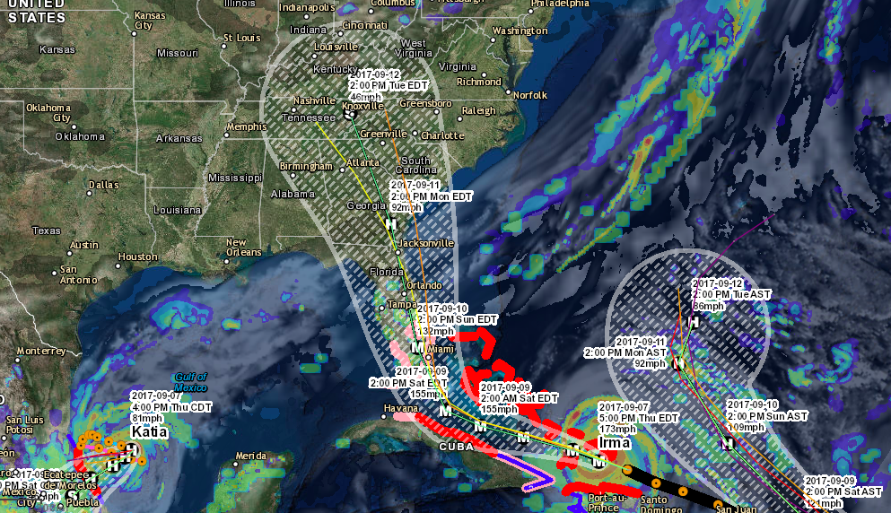
Hurricane Matthew continued to remain a strong hurricane overnight and now has winds of near 145 mph and is currently moving north at around 9 mph. Matthew is currently positioned over the western tip of Haiti and will move over the eastern tip of Cuba later today. Matthew is expected to weaken slowly over the coming days, but will still remain a very dangerous major category hurricane. Matthew will then move over the Bahamas early Thursday morning before moving towards the eastern coast of Florida. Matthew will likely bring heavy rain, storm surge and hurricane force winds to the eastern coast of Florida with the central and western portions likely seeing tropical storm conditions on Thursday night into Friday. Hurricane Matthew will skirt the Georgia coast Friday night into Saturday morning with likely tropical storm conditions with possible hurricane force winds. On Saturday the hurricane will likely continue to skirt the coast of South Carolina likely bringing hurricane conditions before possibly making landfall in North Carolina between Wilmington and Hatteras. The track of this system could still fluctuate over the coming days, but now is the time to start planning if you live between Florida and Virginia.
If you would like to stay up to date on these systems and future systems be sure to like us on Facebook and download the Atlantic Hurricane Tracker on Android and Apple devices.
Facebook: www.facebook.com/severewxwarn
Hurricane Tracker(Apple): Atlantic Hurricane Tracker
Hurricane Tracker(Android): Atlantic Hurricane Tracker
Hurricane Tracker(Desktop): http://www.severewxwarn.com/atlantic-hurricanes/

HAZARDS AFFECTING LAND: (National Hurricane Center)
WIND: Hurricane conditions are already affecting the southwestern
portion of Haiti, and these conditions will spread northward today.
Hurricane conditions are expected to reach eastern Cuba later today,
the southeastern Bahamas Tuesday evening, the central Bahamas on
Wednesday, and the northwestern Bahamas Wednesday night. Tropical
storm conditions are expected to continue spreading across the
remainder of Haiti today, eastern Cuba later this morning, the
southeastern Bahamas later today, and the central and northwestern
Bahamas Tuesday night and Wednesday, making outside preparations
difficult or dangerous.
Tropical storm conditions are expected in portions of Jamaica and
along the southern coast of the Dominican Republic within the
warning area today, and will spread northward into the Turks
and Caicos Islands tonight.
Hurricane conditions are possible in the hurricane watch areas in
Cuba tonight with tropical storm conditions possible later today.
RAINFALL: Matthew is expected to produce total rainfall amounts in
the following areas:
Southern Haiti and southwestern Dominican Republic…15 to 25
inches, isolated 40 inches
Eastern Cuba and northwestern Haiti…8 to 12 inches, isolated
20 inches
Eastern Jamaica…4 to 6 inches, isolated 10 inches
The Bahamas…8 to 12 inches, isolated 15 inches
Turks and Caicos Islands…2 to 5 inches, isolated 8 inches
Northeastern Haiti and the Northern Dominican Republic…1 to 3
inches, isolated 5 inches
Western Jamaica…1 to 2 inches, isolated 3 inches
Life-threatening flash floods and mudslides are likely from this
rainfall in southern and northwestern Haiti, the southwestern
Dominican Republic, and eastern Cuba.
STORM SURGE: The combination of a dangerous storm surge and large
and destructive waves could raise water levels by as much as the
following amounts above normal tide levels…
Southern Coast of Cuba east of Cabo Cruz…7 to 11 feet
South Coast of Haiti…7 to 10 feet
Northern Coast of Cuba east of Camaguey…4 to 6 feet
Jamaica…2 to 4 feet
Gulf of Gonave in Haiti…3 to 5 feet
Southern coast of the Dominican Republic…1 to 3 feet
The Bahamas…10 to 15 feet
Surge-related flooding depends on the relative timing of the surge
and the tidal cycle, and can vary greatly over short distances.
Large waves generated by Matthew will cause water rises to occur
well in advance of and well away from the track of the center.
SURF: Swells generated by Matthew will continue to affect portions
of the coasts of Hispaniola, Jamaica, eastern Cuba, and the
Caribbean coastline of Central America during the next few
days. Swells from Matthew will begin affecting portions of the
Bahamas on Tuesday. These swells are likely to cause life-
threatening surf and rip current conditions. Please consult
products from your local weather office.