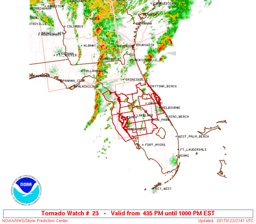
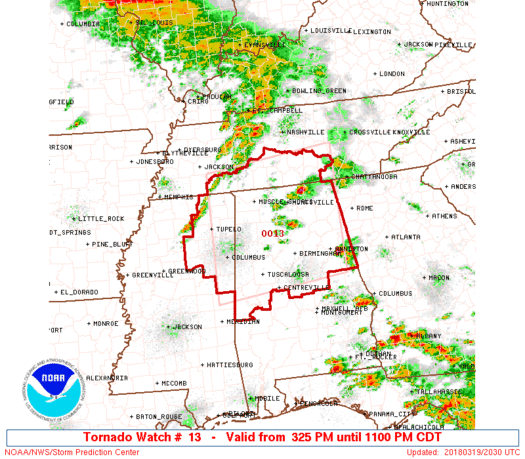
Severe weather will impact much of the Southeastern US Tuesday and Wednesday this week. Severe weather including damaging winds, severe hail, isolated tornadoes and heavy downpours could affect over 15 states throughout the southeast. The biggest risk for severe weather will be in Tennessee, Alabama, Mississippi & Kentucky, but any of the areas in the outlook region of the map posted below could see severe weather. Storms will begin firing across the outlook area tomorrow morning around 11 a.m. est and continue to push east before moving off the eastern coast of the US on Wednesday. Squall lines are likely to begin developing across Missouri, Arkansas and Louisiana around 5 p.m. est on Tuesday with severe weather continuing into Kentucky, Tennesse and Missippi late Tuesday night with what will likely be a squall line extending through multiple states. The storms will likely continue into the Carolina’s, Georgia, Virgina and Florida Wednesday morning and push through and move off the coast late Wednesday night into Thursday morning. The biggest threat with this system will likely be damaging winds and severe hail. We will make another post on Tuesday morning and Wednesday morning to show the target areas of severe weather with tornado, hail and damaging wind outlooks. Be sure to like us on Facebook by CLICKING HERE and also be sure to download our Storm Tracker App on Android and Apple by clicking the the Apps tab in the main menu. You can also use the social media buttons in this article to share this article with your friends. Thanks for making us your #1 source for severe weather.