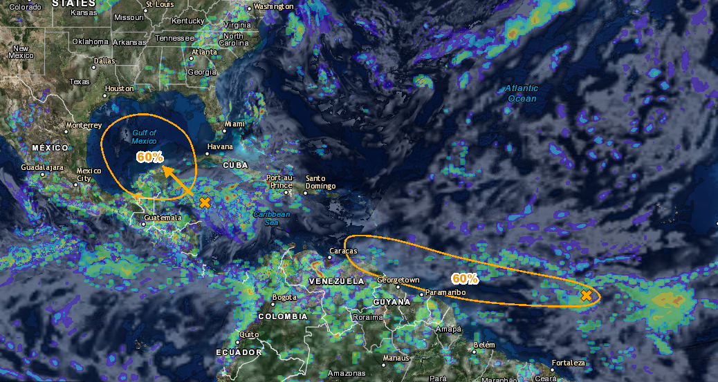
Matthew has continually strengthened over the last week and is now a very dangerous category 5 hurricane with maximum winds near 160 mph. The storm is likely to fluctuate some in strength over the next few days and is expected to make a hard north turn later today. The storm will likely make landfall in Jamaica Monday into Tuesday and could possibly be the strongest hurricane on record to ever strike Jamaica. The storm will then continue towards Cuba and make landfall there on Tuesday still likely as a major category hurricane. Following that the storm will pass a few hundred miles off the Florida coast near the Bahamas though it will not likely make a direct landfall in the Bahamas. The east coast of the United States is not out of the water yet though its still too far out to determine if the US will have a direct strike from Matthew. The models are still mixed this morning with storm models showing this storm making landfall in the US and others are showing it being pushed out to sea. Either way this storm will need to be monitored closely as it is a very dangerous system.
If you would like to stay up to date on these systems and future systems be sure to like us on Facebook and download the Atlantic Hurricane Tracker on Android and Apple devices.
Facebook: www.facebook.com/severewxwarn
Hurricane Tracker(Apple): Atlantic Hurricane Tracker
Hurricane Tracker(Android): Atlantic Hurricane Tracker
Hurricane Tracker(Desktop): http://www.severewxwarn.com/atlantic-hurricanes/
HAZARDS AFFECTING LAND(From NHC)
———————-
WIND: Tropical storm conditions are expected to continue in
portions of the warning area in Colombia for the next few hours.
Hurricane conditions are possible on Jamaica on Monday, with
tropical storm conditions possible by late Sunday. Tropical
storm conditions are possible in the watch area in Haiti by late
Sunday.
RAINFALL: Rainfall totals of 2 to 4 inches with isolated higher
amounts are expected over Aruba, Bonaire and Curacao through today.
Rainfall totals of 2 to 4 inches with isolated higher amounts are
expected along the coast of Colombia from the Venezuelan border to
Riohacha. Rainfall totals of 1 to 2 inches with isolated higher
amounts are expected along the coast of Venezuela from Coro to the
Colombian border.
Rainfall totals of 10 to 15 inches with isolated maximum amounts of
25 inches are expected across Jamaica and southern and southwestern
Haiti. These rains may produce life-threatening flash flooding and
mud slides.
SURF: Swells generated by Matthew are expected to affect portions
of the coasts of Puerto Rico, Hispaniola, Jamaica, Aruba, Bonaire,
Curacao, Venezuela, Colombia, and eastern Cuba during the next few
days. These swells are likely to cause life-threatening surf and rip
current conditions. Please consult products from your local weather
office.

